
The dryline is an air mass boundary that separates warm / humid air from warm / dry air. The dryline is a fairly common feature in the High Plains and will sometimes move east into the Great Plains during the day before retreating at night. The dryline is especially notable when a low pressure system is moving from the High Plains/Mountain region and into the Great Plains since this forces close contact between humid air and dry air. The circulation around the low pressure system forces dry air toward the east. The dryline can be a focusing agent for thunderstorm development when convergence is strong enough along the dryline. 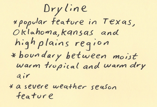 The formation of the dryline is helped by climatological factors. To the southeast is a huge Gulf of warm water. This helps pump in warm and moist air. To the southwest is dry arid air and desert regions. This helps bring in dry air. When a low pressure system is moving through this region toward the east, it will force these air masses into each other. The dryline boundary is the surface boundary where these contrasting air masses join. Generally, the dry air will also flow over the top of the moist air to the east. This has a significant impact when it comes to the prospects of severe weather due to the convective instability it generates. 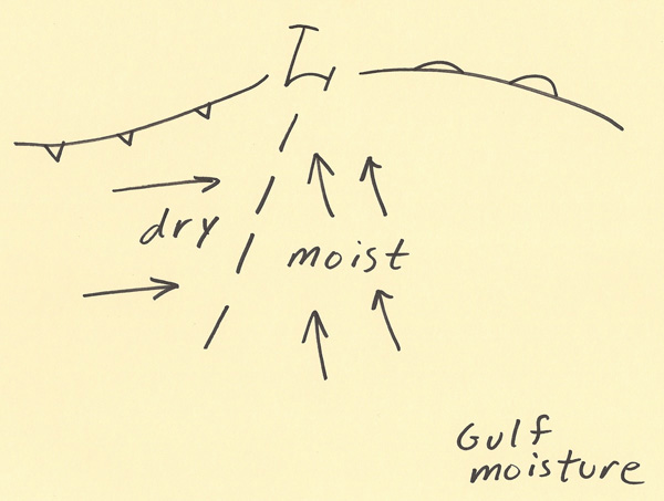 Storms are more likely along a dryline boundary when there is strong surface convergence. Strong convergence occurs when strong winds blow into each other. For the case of a dryline, it will be strong south/southeast winds blowing from the Gulf of Mexico into strong winds from the west/southwest blowing from the dry High Plains. This piling of air has nowhere to go except up. Since moisture is limited right at the dryline boundary, generally storms will be LP (low precipitation) supercells but can morph into classic supercells as they move east into areas with deeper moisture. The diagram below shows an example of both weak and strong dryline convergence. Convergence is stronger where winds are flowing into each other from opposing directions. It also helps enhance the convergence when the winds are strong. 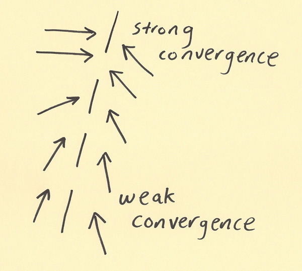 The dry air will flow over the top of the moist air. The dry air is generally flowing from a higher elevation region. The forcing from a low pressure system will cause this dry air to flow east. The depth of moist air tends to be greater closer to the Gulf of Mexico and farther away from the High Plains. Thus, even in the regions with moist air, there can be very dry air flowing overhead aloft. This can generate convective instability which can enhance the severity of storms. The dryline and the associated advections with it in the synoptic environment are important to study when forecasting the weather in this region of the country. 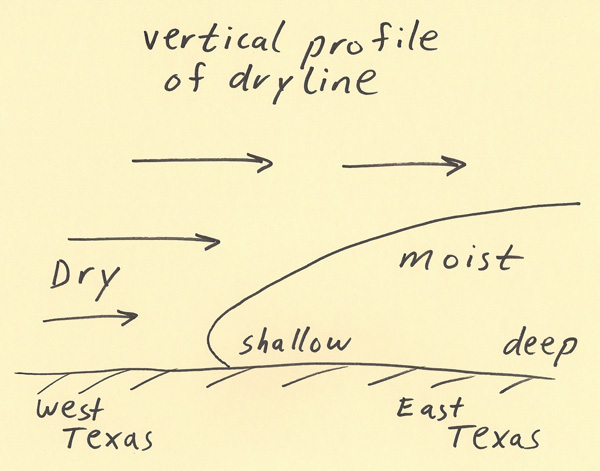 |